Where to build the walls that protect us (#1)
Exeter (UK), 2014.
Commissioned by Kaleider, and supported using public funding by the National Lottery through Arts Council England and Exeter City Council.
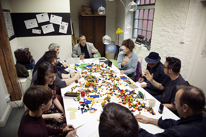
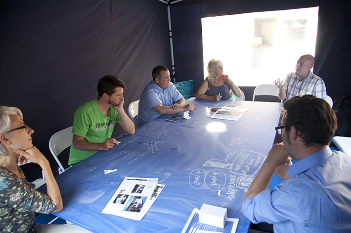
Where to build the walls that protect us is an opportunity for us all to imagine a future city. Our city of Exeter… An architect or planner might call this sort of process a ‘charrette’ – a term that’s used to describe an intensive, collaborative enquiry that seeks to solve a complex design issue. Perhaps that sounds rather dry and dusty, but you should be assured that this is going to be an exercise in serious play. We’ll try not to get too distracted by Utopian visions. Or to worry too much about logistics. But, with one eye on the persistent fiscal crisis and the challenges of climate change, and the other on Hope, let’s look again at the fundamental fabric of our city and envisage it afresh.
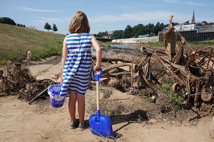
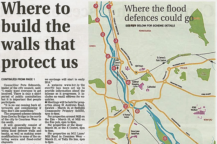
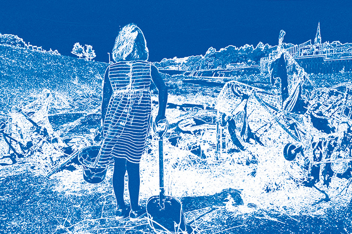
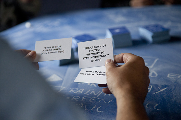
Taking its momentum from major floods in Exeter and Leeds, this work explored new, collaborative models for imagining future cities. It took the form of socially-engaged live art in the public realm. The core output was framed as a ‘charrette’: an intensive, collaborative enquiry that seeks to solve a complex design issue. The work drew on relational, spatially-oriented methods, exploring four future-facing themes essential to urban development (‘terrain and climate’, ‘buildings and the life between them’, ‘industry and commerce’, and ‘mobility and communications’).
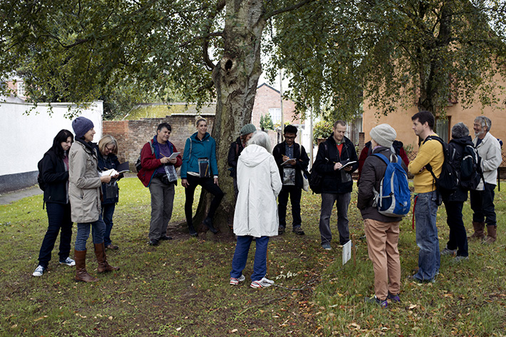
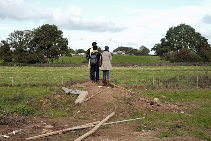
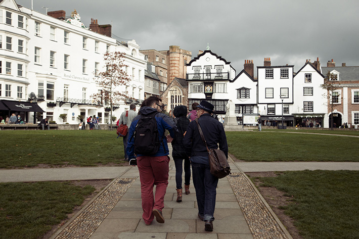
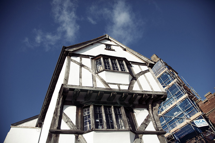
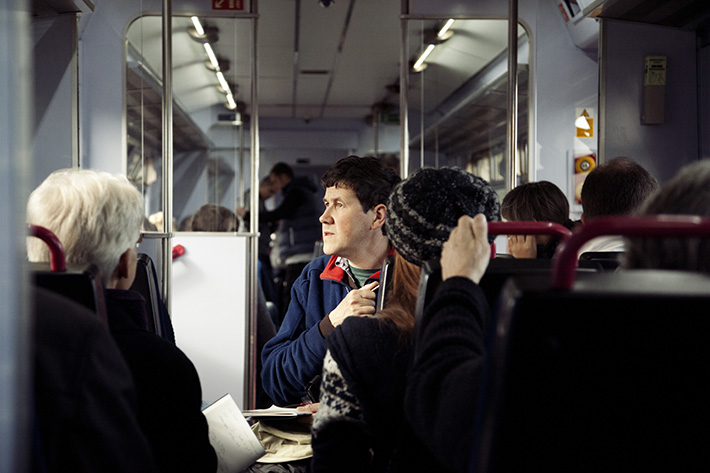
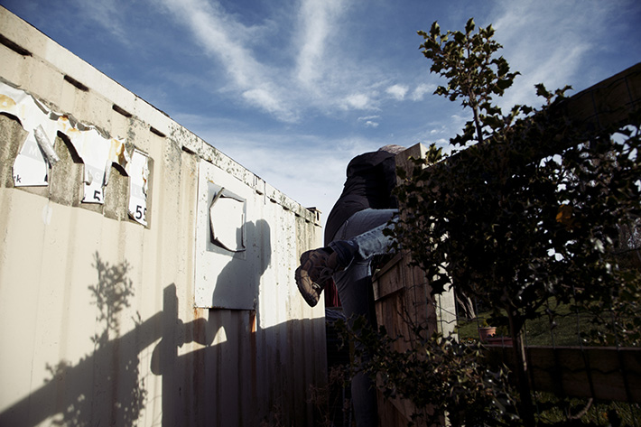
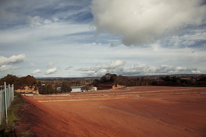
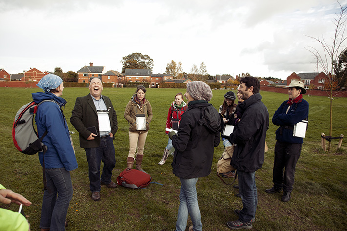
This first Research & Development phase of the work comprised 4 x 6-hour reconnaissance excursions. They wove through the city, playfully exploring the keys themes of terrain and climate, buildings and the life between them, industry and commerce, and mobility and communications. As they travelled, participants encountered experts (climatologists, planners, community leaders and long-term residents), gathered material, and contributed ideas to the on-going planning enquiry.
After sifting through the reconnaissance material, the second, public-facing phase of the project took place over a week in September 2014. Rather than opting for a definitive Masterplan model as originally pledged, it was decided to take a more fluid, iterative approach. 5 cities in 5 days. Each day built from scratch. Each day catalogued. Each day just 1 possible Exeter.
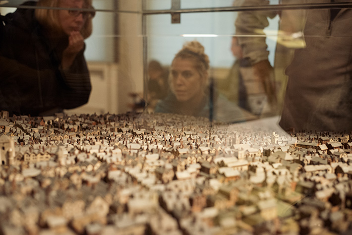
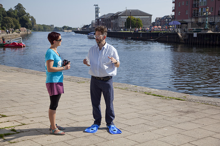
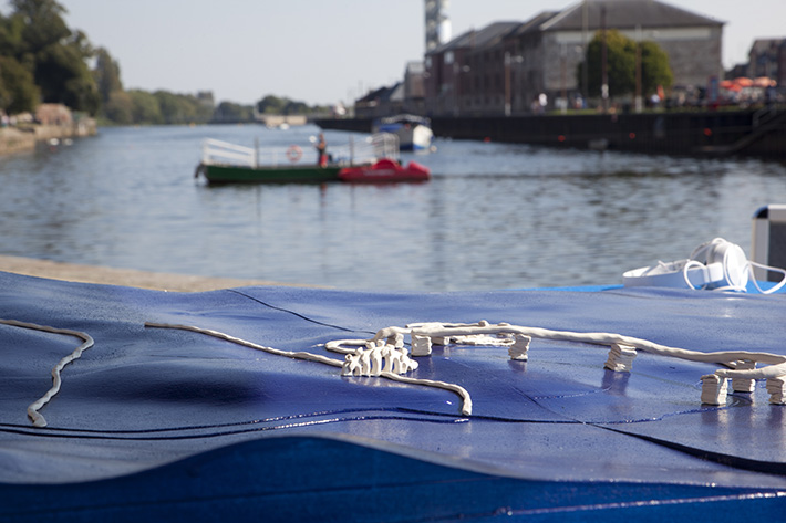
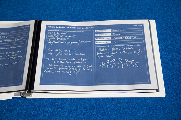
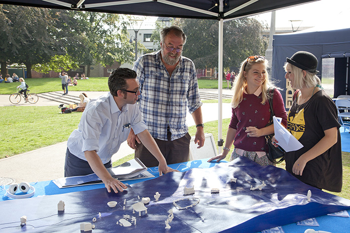
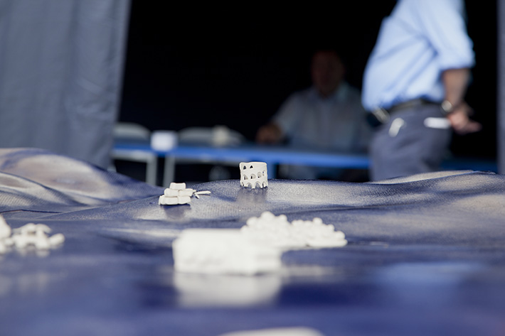
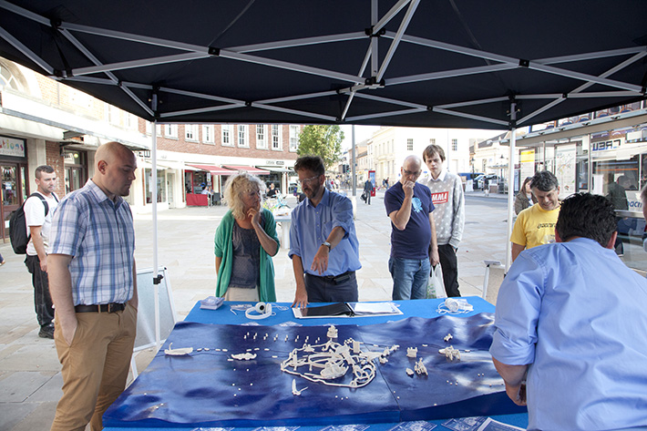
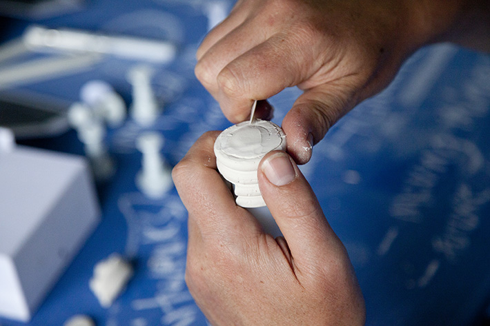
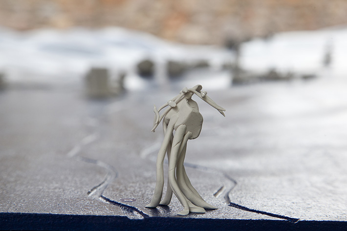
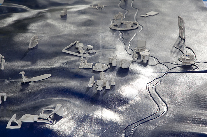
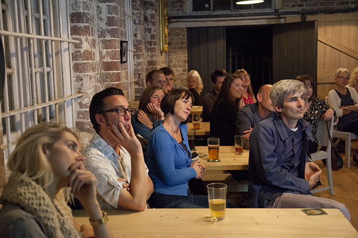
Drawing heavily upon the first phase walking reconnaissance, the work intrigued and whetted the public imagination, interrupting a different public thoroughfare each day: next to the river, on the Cathedral Green, amid the shops, outside central railway station, in front of the library. Out front a precision-engineered 3D model of Exeter. Purely topological. For those with more time and interest, a deeper engagement could be had for the cost of one hour of time. Joining team members (Stephen Hodge, Matt Fletcher and Stuart Crewes) and relevant future-facing experts they listened, talked, identified issues and questions, drew provisional blueprint solutions, represented them in clay, and added them to the day’s model. The week culminated in a ‘Powered by PechaKucha’ night at the Exeter Brewery.
Images: Stephen Hodge, Robert Darch, Jessica Lennon, Exeter Express & Echo.

